.png)
Institute
of
Remote Sensing
of
Remote Sensing
Intercollegiate Technical Symposium on
Geospatial Science, GIS, Remote Sensing & AI
Theme: GeoVerse: Connecting Data, Intelligence, and Innovation
Theme: GeoVerse: Connecting Data, Intelligence, and Innovation
GeoHorizon events are designed to reflect the real-world demands of modern geospatial practice, combining technical depth with analytical reasoning and innovation. Each event challenges participants to think beyond software usage and focus on spatial logic, problem understanding, and defensible decision-making. From debates and audits to hackathons and ideathons, the events cover a wide spectrum of geoinformatics, GIS, remote sensing, and applied spatial intelligence. Participants are encouraged to justify workflows, question assumptions, and communicate ideas with clarity and confidence. The structure of each event mirrors professional and research-driven environments, preparing students for industry, academia, and interdisciplinary collaboration. Together, these events form a cohesive academic experience rather than isolated competitions.
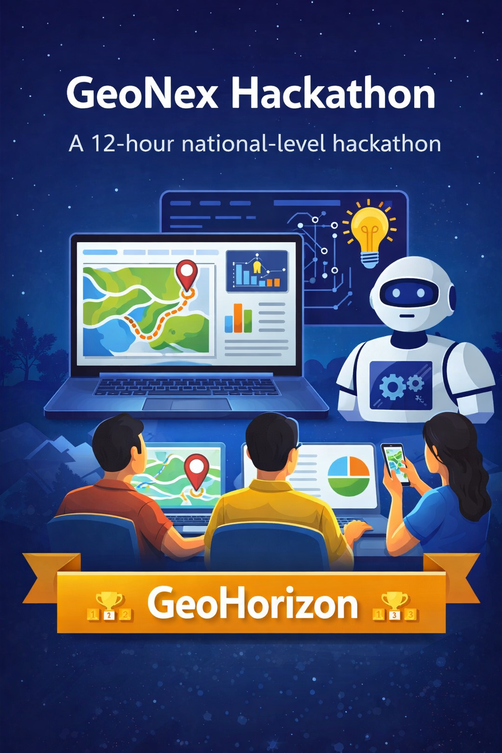
GeoNex Hackathon is a 12-hour national-level offline hackathon conducted as part of the GeoHorizon PAN India Symposium. The event brings together students from across the country to develop real-world geospatial and AI/ML-driven solutions using curated problem statements sourced from industry and academia. Participants work intensively within a fixed time window to design, implement, and present functional, impact-oriented solutions.
The hackathon runs continuously for 12 hours on campus and follows a structured development pipeline. At the start of the event, teams are introduced to the problem statements, datasets, and evaluation guidelines. Problem statements span domains such as GIS, remote sensing, AI/ML-based geospatial analytics, urban planning, disaster management, agriculture, environment, and infrastructure.
Teams then enter the development phase, focusing on data preprocessing, GIS analysis, model building, and visualization. Throughout the event, faculty members and industry mentors are available to provide technical guidance and strategic feedback. The final phase involves solution finalization and presentation, where teams showcase their outputs—including models, maps, dashboards, or analytical results—before a jury panel for evaluation.
Certificates will be provided to all participants, winners, mentors, and jury members, with special recognition for highly innovative solutions.
Sanjaykumar E – +91 63694 71476
Monaesh Kumar S K – 97908 76011
Anantha Yashwanth – +91 97516 64794
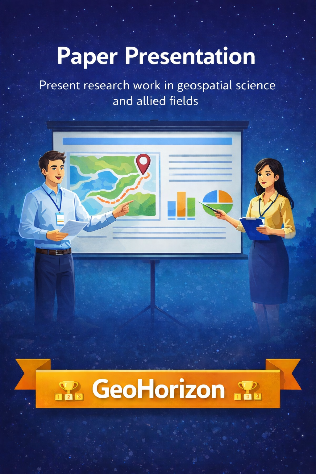
The Paper Presentation event provides participants with a platform to analyze, interpret, and present research work in the domain of geospatial science and allied fields. The event focuses on evaluating participants’ understanding of published research and their ability to communicate technical ideas in a clear and structured manner.
Participants select a topic from the list released by the organizing committee or choose a closely related topic aligned with the given themes. Each participant or team studies a relevant research paper and prepares an abstract summarizing the paper’s objectives, methodology, and key findings.
The presentation is prepared in PowerPoint format and submitted one to two weeks in advance. On the event day, participants present their work before a panel of judges, explaining the research problem, approach, and conclusions within the allotted time.
Team Composition: Individual or team of up to 2 members
Presentation Duration: Maximum of 20 minutes
Submission Mode: PPT submission via the designated email ID
(late submissions will not be accepted)
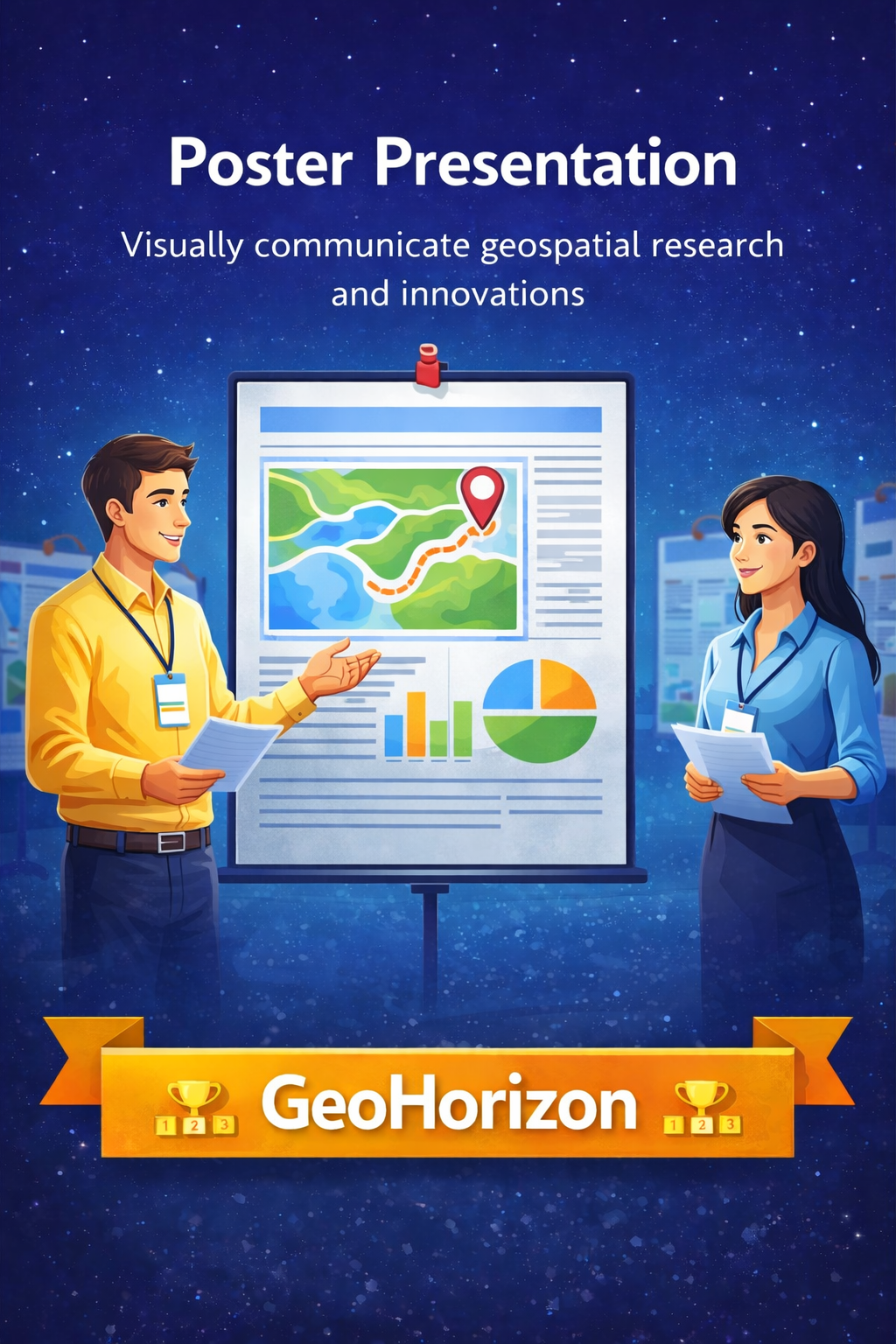
The Poster Presentation event offers participants an opportunity to visually communicate geospatial research, applications, and innovations. The event encourages concise scientific storytelling through maps, figures, and analytical visuals, while assessing both technical depth and clarity of explanation.
The event is open to undergraduate and postgraduate students, including interdisciplinary participants, provided the work has a clear geospatial focus.
Participants may present individually or in teams of up to two members. Topics are selected during registration from approved geospatial themes or closely related areas. Each participant prepares a printed A1-size poster in portrait orientation, showcasing original work supported by properly cited data sources.
On the event day, participants present their posters during the evaluation session. Each team is allotted 5 minutes for explanation, followed by a 2-minute question-and- answer session with the judges. Participants are expected to be present near their posters throughout the evaluation period.
Poster Format: A1 size (59.4 × 84.1 cm), printed
Language: English
Presentation Time: 5 minutes + 2 minutes Q&A
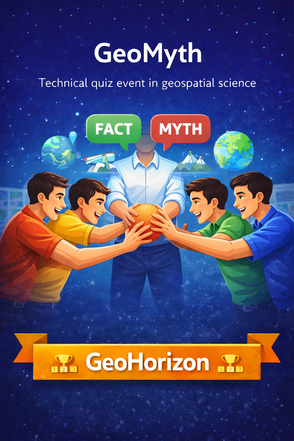
GeoMyth is a fast-paced technical quiz event designed to test participants’ conceptual clarity and critical thinking in geospatial science. The event challenges teams to distinguish verified scientific facts from common myths across geography, GIS, remote sensing, Earth sciences, and allied domains, rewarding accuracy, alertness, and presence of mind.
GeoMyth is conducted in two competitive rounds. In the first round, Fact or Myth – Rapid Identification, teams are presented with a series of geospatial statements. Participants respond by grabbing the ball held by the organizer. The first team to grab the ball earns the opportunity to classify the statement as a fact or a myth. Incorrect responses pass the chance to the next team, and points are awarded for every correct classification.
In the second round, Memory-Based Concept Identification, teams are shown sets of five mixed fact and myth statements for a limited duration. After the display, teams must recall and correctly classify each statement. Points are awarded based on accuracy, and the team with the highest cumulative score and maximum precision is declared the winner.
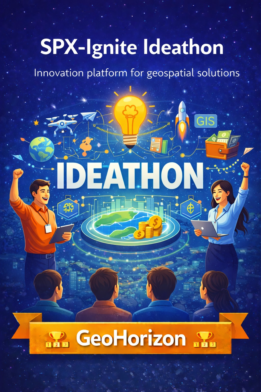
SPX-Ignite Ideathon is an innovation-focused platform aimed at identifying and nurturing future Geo-Entrepreneurs. Participants are challenged to identify real-world problems and propose original, geospatially driven solutions with strong implementation or startup potential.
The event encourages ideas that move beyond theory and demonstrate practical relevance, innovation, and measurable societal impact using geospatial technologies.
Participants independently conceptualize a real-world problem related to domains such as geospatial science, geoinformatics, GIS, remote sensing, UAVs, smart cities, environment, disaster management, agriculture, transportation, or sustainable development.
Each participant or team develops a structured solution proposal and presents their idea in a pitch format. The pitch must clearly communicate the problem significance, geospatial data or technologies involved, innovation and feasibility of the solution, scalability, and its societal, environmental, or commercial impact.
Evaluation focuses on clarity of thought, originality, and the ability to translate geospatial knowledge into actionable, implementation-ready ideas.
Organizer 1 – To be announced
Organizer 2 – To be announced
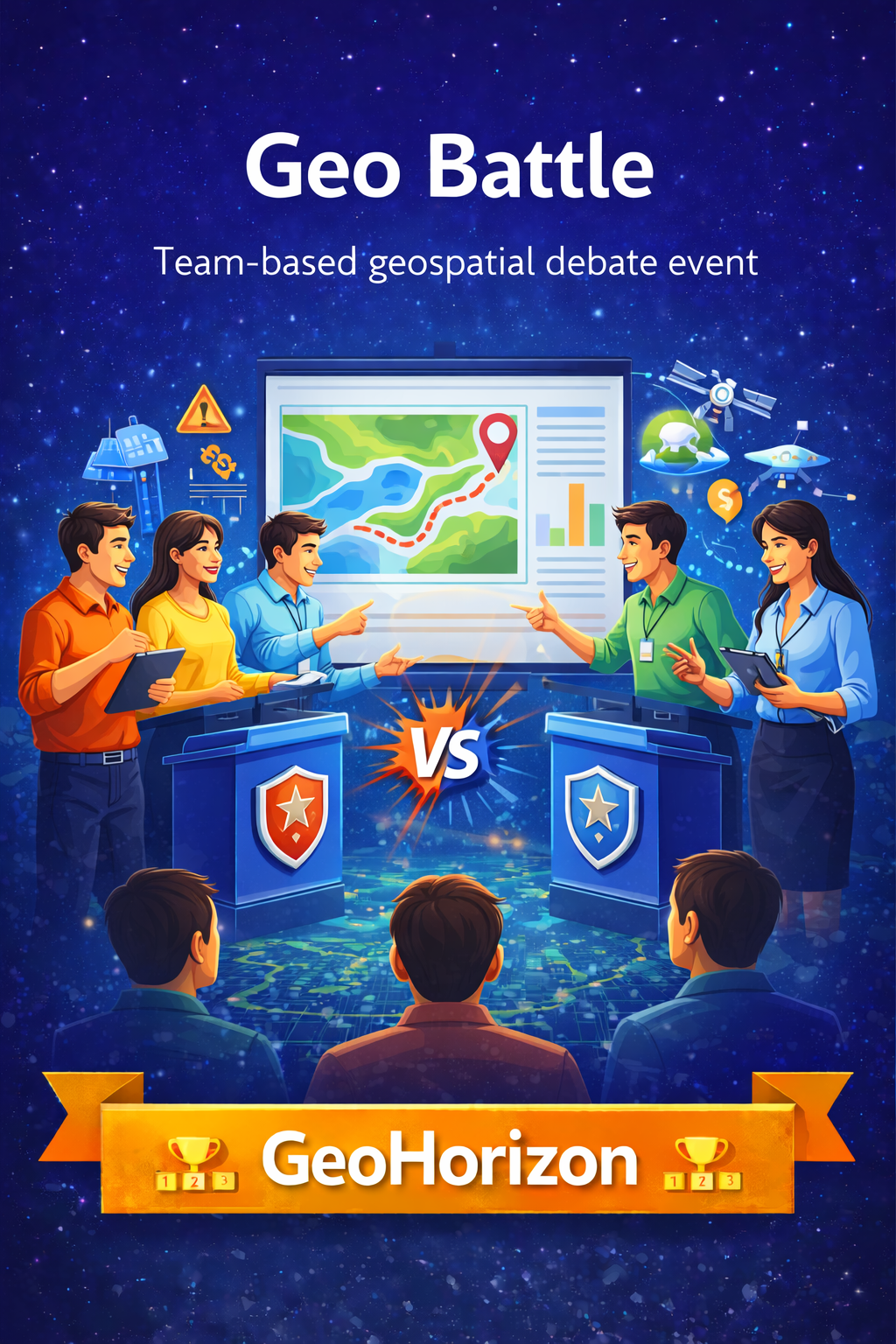
Geo Battle is a high-intensity, team-based geospatial debate event where participants tackle real-world spatial problems and defend their solutions using sound geospatial logic. The event challenges participants to analyze complex issues, design practical GIS workflows, and justify technical decisions under time pressure.
The event is conducted as a single-round parallel Geo Battle. Six teams, each consisting of four members, are divided into three sets, with two teams competing simultaneously in each set. Each set is assigned a unique problem statement focusing on real-world geospatial challenges such as disaster management, urban planning, climate change, agriculture, or water resources.
Teams are given 10 minutes of preparation time to interpret the problem, formulate a geospatial solution, and assign speaking roles. This is followed by a 15–20 minute debate and defense session, where teams must clearly explain their workflow, justify data sources and tools, and counter opposing arguments with technical reasoning and feasibility.
One winning team from each set will be selected, resulting in a total of three shortlisted winning teams.
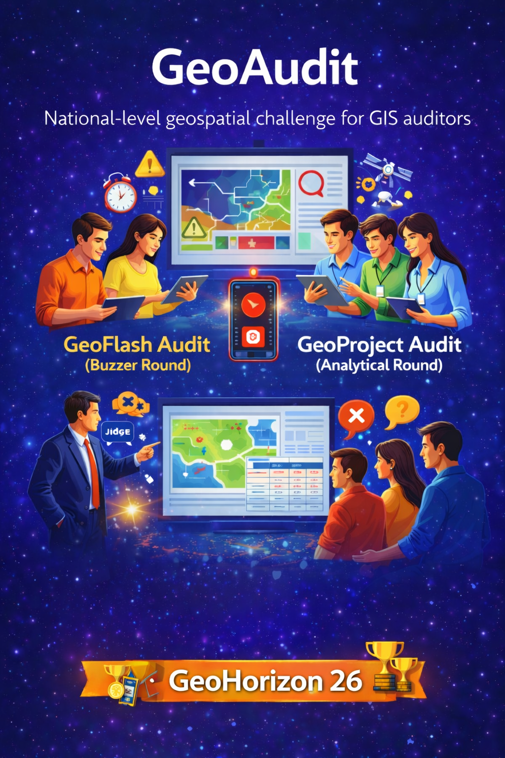
GeoAudit is a national-level geospatial challenge that places participants in the role of GIS auditors. Instead of building projects from scratch, teams are provided with deliberately flawed GIS projects containing errors in coordinate reference systems, attribute tables, spatial logic, symbology, and interpretation. Participants must identify these errors, explain why they are incorrect, and justify how such mistakes can impact real-world decision-making.
The event emphasizes conceptual clarity, spatial reasoning, and analytical thinking, rather than software speed or coding proficiency.
GeoAudit is conducted in two competitive rounds. In the first round, GeoFlash Audit (Buzzer Round), participants are shown GIS-related visuals such as maps, datasets, and imagery containing a single critical error. Using a custom mobile application provided prior to the event, participants press the buzzer upon identifying the error and must clearly explain the issue and its implications.
In the second round, GeoProject Audit (Analytical Round), shortlisted participants are given complete GIS projects with multiple embedded errors related to CRS handling, attribute design, spatial analysis workflows, and interpretation. Participants must identify these issues, propose corrections, and justify their solutions through sound geospatial reasoning, followed by evaluation from the judges.
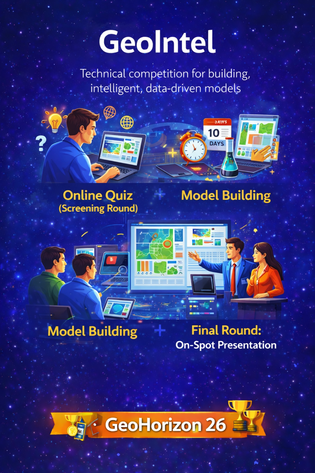
GeoIntel is a technical competition centered on building intelligent, data-driven models using provided datasets and problem statements. The event emphasizes analytical thinking, geospatial intelligence, and the ability to translate data insights into well-structured, defensible solutions, while also evaluating participants’ documentation and presentation skills.
GeoIntel is conducted in three progressive rounds. In the first round, Online Quiz (Screening Round), all registered participants take an online test covering data analysis fundamentals, geospatial concepts, and logical reasoning. Participants are shortlisted based on their performance.
In the second round, Model Building, shortlisted teams receive the official problem statement and datasets. Teams are given a 10-day period to analyze the data, perform preprocessing, and develop a suitable model. Evaluation focuses on model accuracy, innovation, and the practical relevance of the proposed solution.
In the Final Round: On-Spot Presentation, qualified teams present their developed models before a panel of judges. Teams must clearly explain their problem understanding, data workflow, modeling approach, and results. Judges assess technical depth, clarity, and decision-making rationale to determine final rankings.
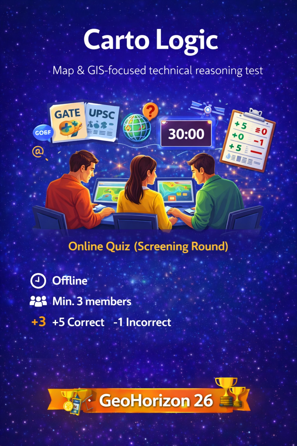
Carto Logic is a technical reasoning event designed to evaluate participants’ analytical intelligence and problem-solving ability through map-based and GIS-focused questions. The event is structured as a competitive reasoning test, drawing inspiration from national and international competitive examinations.
Carto Logic is conducted as a single offline round. Participants attempt a structured reasoning test consisting of 20 multiple-choice questions focused on maps, spatial reasoning, and GIS concepts. The difficulty level of the questions aligns with standards seen in examinations such as GATE, UPSC, and international competitive tests.
Teams compete under a fixed time limit of 30 minutes, with performance evaluated using a standardized marking scheme to ensure fairness and accuracy.
Marking Scheme: +5 for each correct answer, −1 for each incorrect answer
Mode: Offline
Team Size: Minimum of 3 members
Prizes are awarded based on overall score, determined by accuracy, speed, and logical consistency in answering.
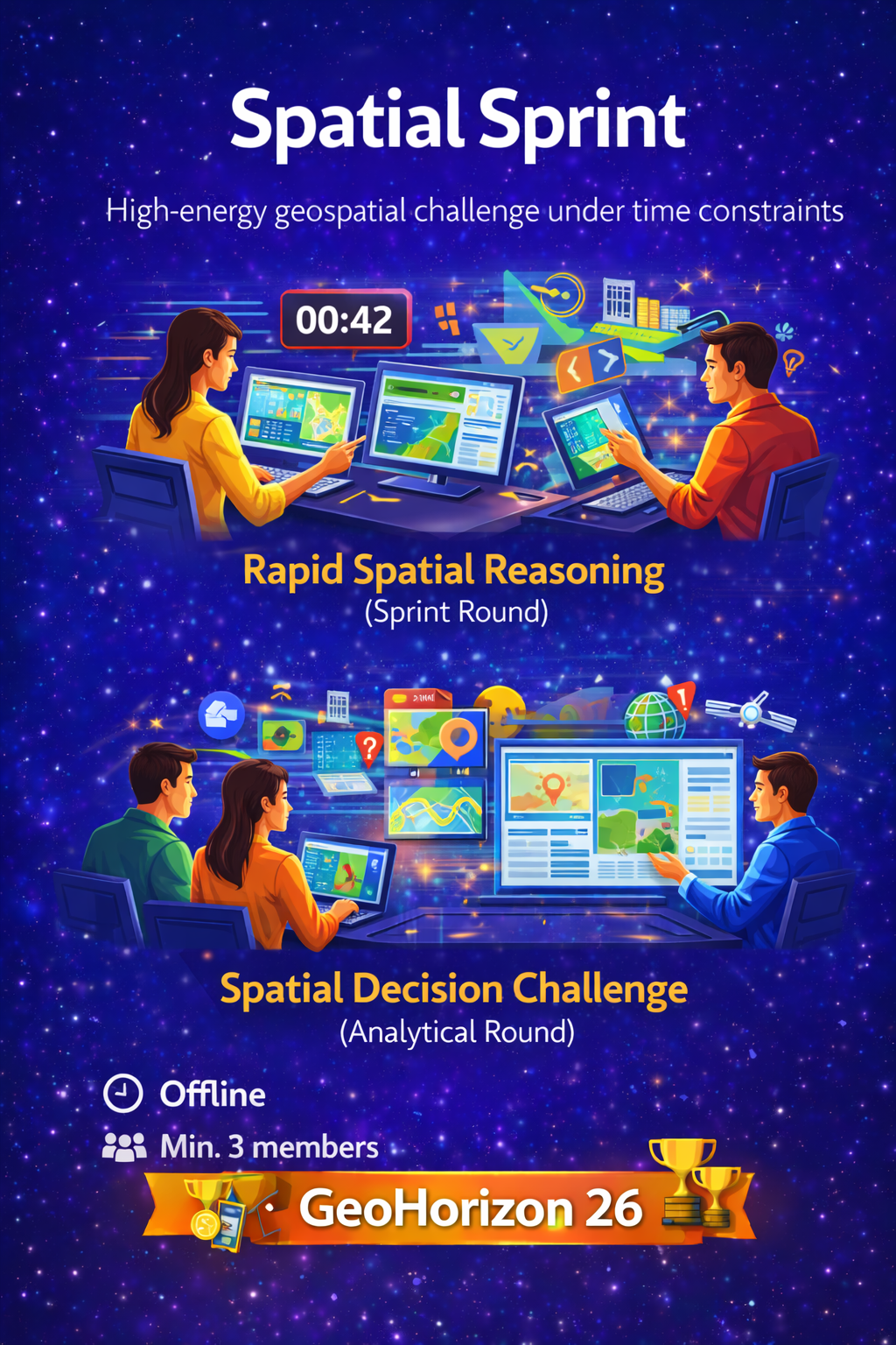
Spatial Sprint is a high-energy geospatial challenge that tests participants’ applied spatial thinking, decision-making speed, and conceptual GIS understanding under strict time constraints. The event evaluates how effectively participants can interpret datasets, select appropriate spatial methods, generate meaningful map-based outputs, and justify decisions using sound spatial logic.
The event format simulates real-world scenarios commonly faced by planners, analysts, and policy decision-makers, where rapid yet accurate spatial decisions are critical.
Spatial Sprint is conducted in two competitive rounds. In the first round, Rapid Spatial Reasoning (Sprint Round), participants are provided with a short real-world problem, relevant spatial datasets, and supporting visual cues. Within a limited time window, participants must identify suitable datasets, determine the appropriate spatial analysis or thematic map, and arrive at the most logical spatial decision.
In the second round, Spatial Decision Challenge (Analytical Round), shortlisted teams receive a detailed problem statement along with multiple spatial datasets such as land use, population, terrain, infrastructure, and environmental layers, including defined constraints and objectives. Teams must conceptually analyze the data, outline a defensible spatial workflow, and justify their final map-based decision using clear spatial reasoning.
Organizer 1 – To be announced
Organizer 2 – To be announced
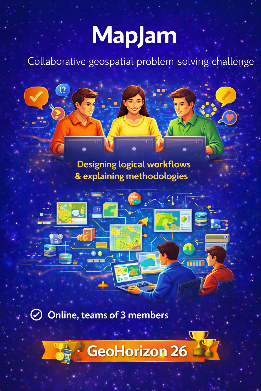
MapJam is a collaborative geospatial problem-solving challenge that evaluates participants on their ability to think, plan, and reason like geospatial professionals. The event emphasizes conceptual clarity, workflow design, and methodological justification rather than producing final maps or computational outputs.
Teams work on a real-world geospatial problem using a prescribed dataset and focus on explaining how a solution should be built, rather than what the final output looks like. The event prioritizes structured thinking and sound geospatial reasoning.
MapJam is conducted entirely online, with each team consisting of exactly three members. Organizers provide a real-world problem statement along with a predefined dataset that must be used by all teams.
Participants collaborate online to design a logical geospatial workflow and submit a clear workflow description, a written justification of the chosen methodology, and a conceptual map illustrating data relationships and analytical logic. The conceptual map represents planning and reasoning, not a finished cartographic product.
All submissions are reviewed by the organizing team to assess originality, relevance to the problem statement, adherence to guidelines, and conceptual clarity. MapJam does not follow a traditional competitive ranking format.
MapJam is a non-ranking academic challenge. Participation certificates are provided, with special recognition for well-structured and conceptually strong submissions.