Coastal
Regulation Zone of Tanjore , Part of Tiruvarur and Nagapattinam District
Geographic
Location:
This
stretch starts from east of Mullipallam lagoon and ends with Jambumahadevipattinam.
Geographically it is located between 79º12'30''-79º37'30'' E longitude and 10º7'30''-10º25'3''
N latitude.
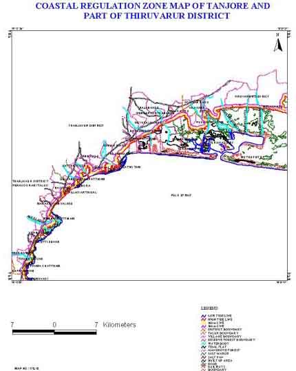
Fig: Coastal
Regulation Zone Information in Tamil Nadu : Tanjore, part of Tiruvarur and Nagapattinam
District
Physiography:
This
stretch consists of a narrow region of sandy beach along the coast in the delta
region of Cauvery river. In the east there is the permanent swampy region with
mangrove forest.
Geology:
The
coastal sands of recent age overlie the Tertiary rocks
Coastal
Geomorphology:
The
geomorphic features observed in this stretch are sub aerial delta, sand plains,
crevasses and cuspate bars, estuaries and swamps. A large part of the delta is
occupied by inter distributory flood basins comprising brown and reddish grey
clay and fine sands.
Distribution of Coastal Regulation Zone:
The
different coastal regulation zone class of Thanjavur and part of Tiruvarur and
Nagapattinam District coast and their area extent are presented in the Table.7.
Table:7
Coastal Regulation
Zone classes and their area extent of Tanjore,Part of Tiruvarur
And Nagapattinam District.
| CRZ-I
sq.km | CRZ-II
sq.km | CRZ-III
sq.km | LTL
km | HTL
km | 100m
line km | 200m
line km | 500m
line km |
| 5.79 |
39.73 |
Nil |
126.94 |
108.2 |
Nil |
76.46 |
79.67 |
Natural Resources:
Groundwater
occurs under water table and semi-confined conditions in the shallow quaternary
and Pliocene aquifers and unconfined condition in the deeper miocene aquifers.
In Pattukottai, Paravurani and Sethubavachatram blocks, shallow and deep tub wells
are common tapping the tertiary aquifers. In this areas the quality of ground
water is good.
Human Settlements:
This
stretch comprises of three districts viz, Thanjavur, part of Thiruvarur and part
of Nagapattinam and four taluks viz, Sirkali, Mailaduthurai, Nannilam and Vedaranyam.
The 200m and 500m zone covers 120 villages
Industries:
M/S.
Madras Refinery Limited has proposed to set up an unit at Panangudi in Nannilam
taluk of Thanjavur district. This unit will have facilities for distillation of
crude oil available from oil wells located at Narimanam. Tamil Nadu Electricity
board has proposed to set up a Thermal Power station at Narimanam.
Climate:
The
minimum and maximum temperature is 20ºC
and 32ºC. This stretch is benefited more by southwest monsoon than by north-east
monsoon because of its heavy rainfall on the western ghats which invariably feeds
the Cauvery.